Google Now Maps Indoors at Malls, Airports
 We all use Google Maps to get from one place to another but how about this. What if you were to use Google Maps to get from one mall to another?! As the Official Google Blog puts it, “With the release of Google Maps 6.0 for Android, [the indoor] directory is brought to the palm of your hands, helping you determine where you are, what floor you’re on and where to go.”
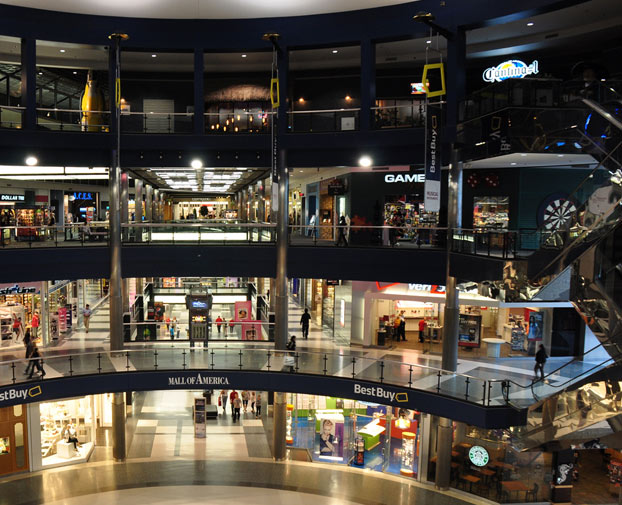
Yes, this means that Google will be able to walk you to Best Buy from Ikea store with in the giant mall or from terminal 1 to terminal 5 in the airport. Google has partnered with some of the largest retailers, airports and transit stations in the United States and Japan. Google listed all the locations which include 20 airports and various Macy’s, Bloomingdale’s, Home Depots and Ikeas around the country. It also includes specifically the Vallco Shopping mall in Cupertino, CA, Eagle Rock Plaza in Los Angeles, CA, and the Mall of America in Minnesota.
Google mapped these places by using bikes instead of mapping cars and also worked with local businesses to obtain a store layout. You can add your own layout, all you do is simply upload a picture of the blueprints, plans or directory and align it with the satellite map.
For now, this service is exclusive to the Android operating systems. IPhone users will be the ones wiping dust off the mall directory to find the nearest Apple Store.
via Source.